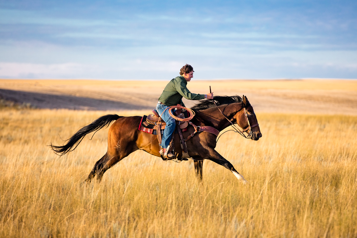
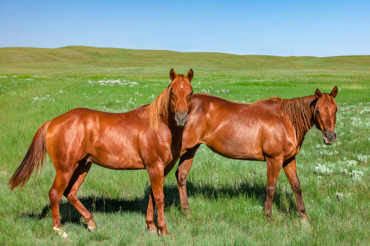
A young man rides his horse fast across the prairie grass south of Chester in Liberty County, Montana. → License Photo
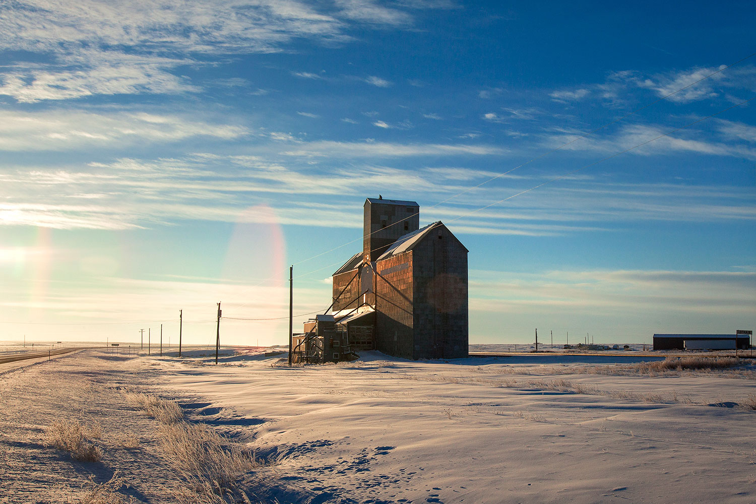
Liberty County, Montana is one of those counties that is best known only to those who live there. Located along that northern stretch of Montana called the Hi-Line, Liberty County is cleaved in half by U.S. Highway 2. Passers by traveling to and from the Midwest to Glacier National Park in the summer probably seldom give Liberty County much thought unless they stop in Chester for some fuel or food. But there's much more to Liberty County than meets the eye. Just have to know where to look.
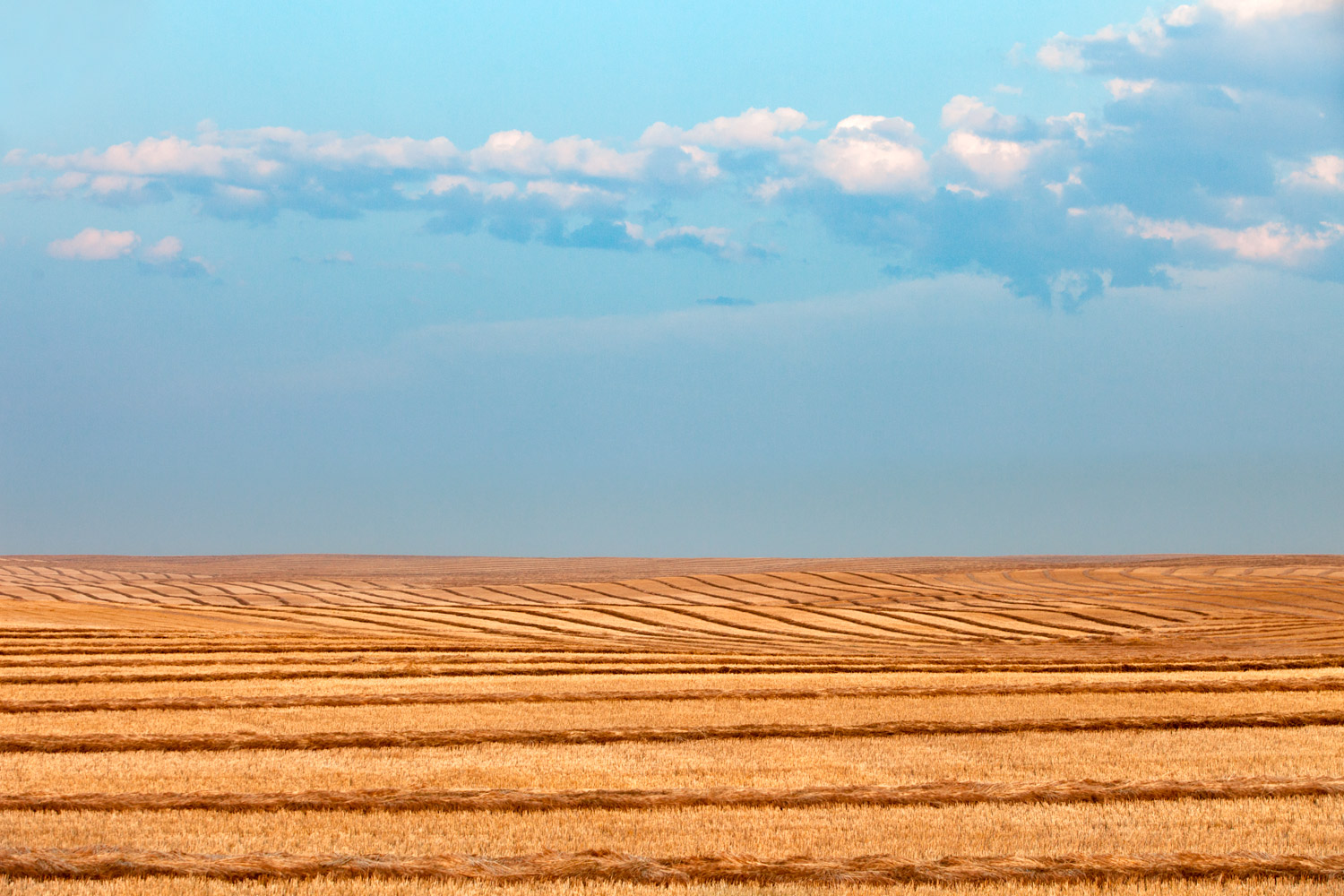
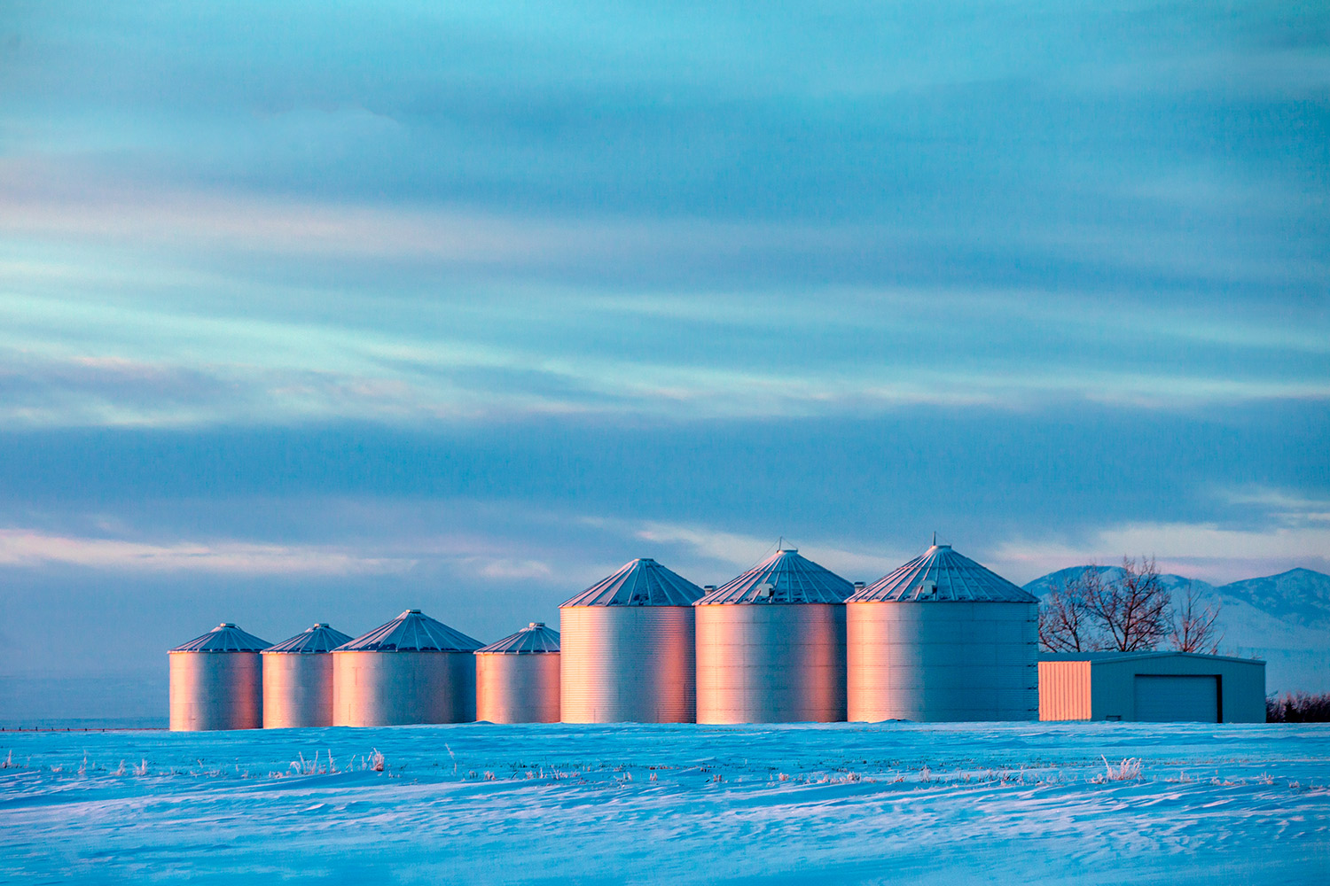
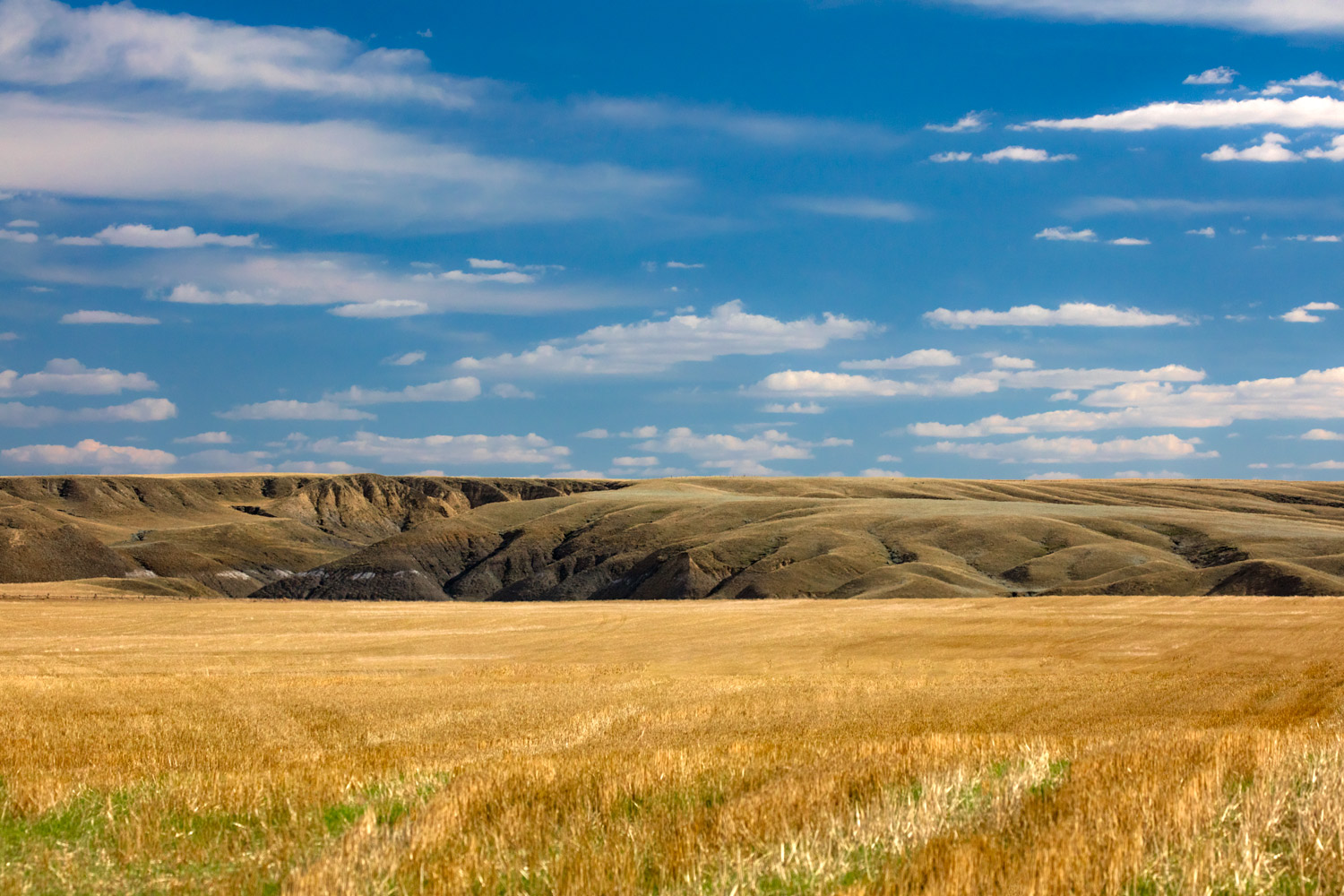
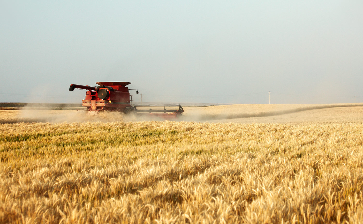
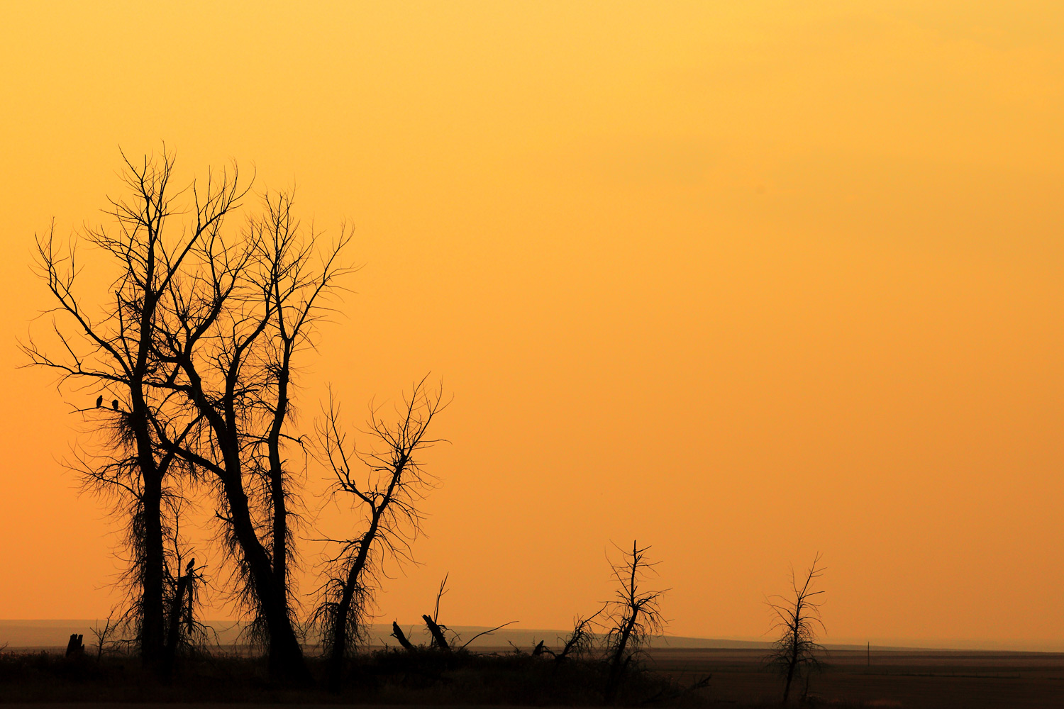
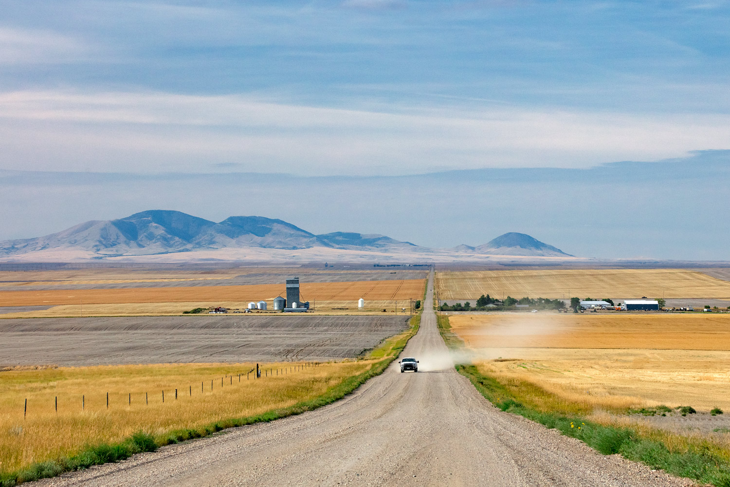
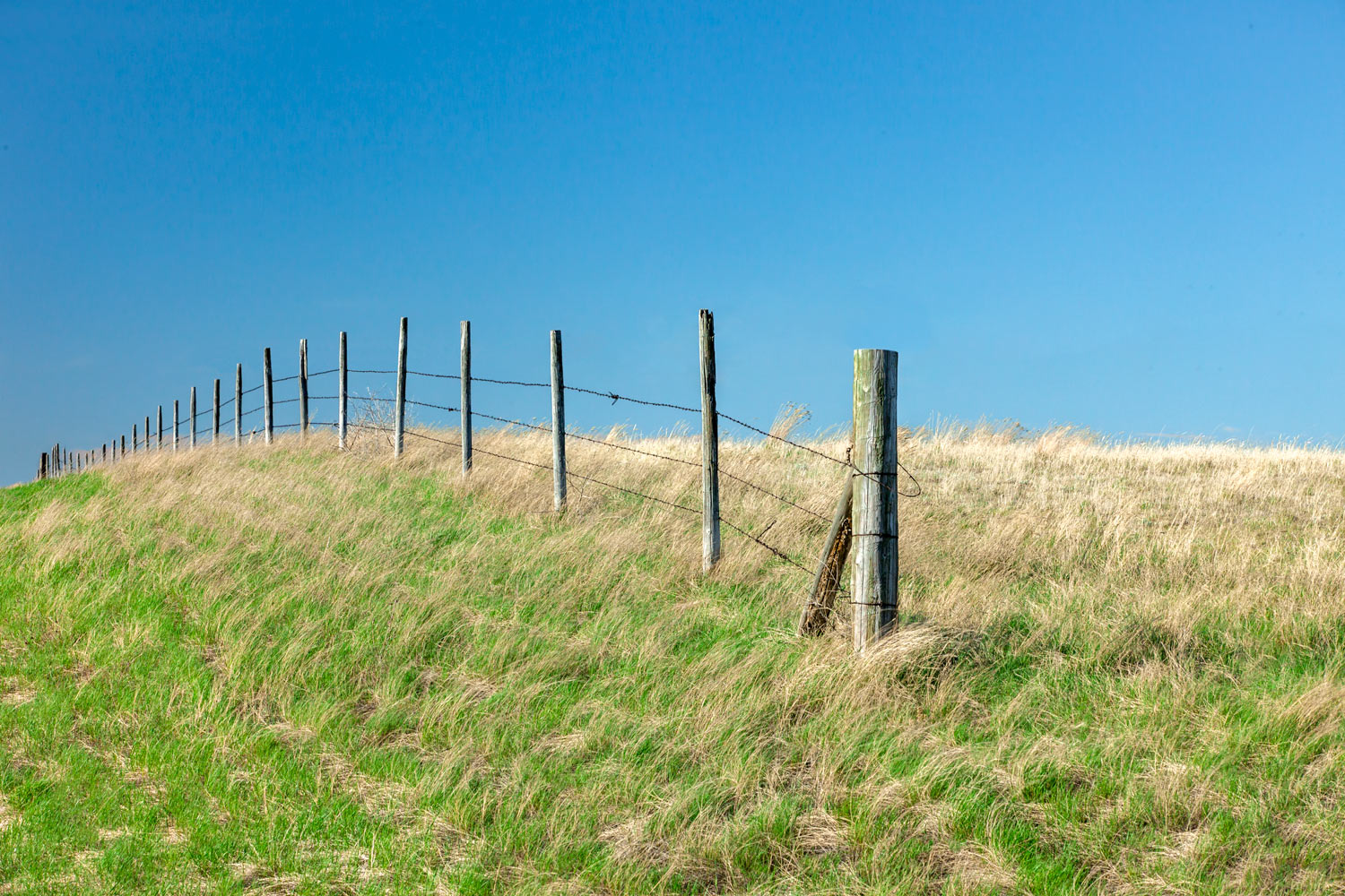
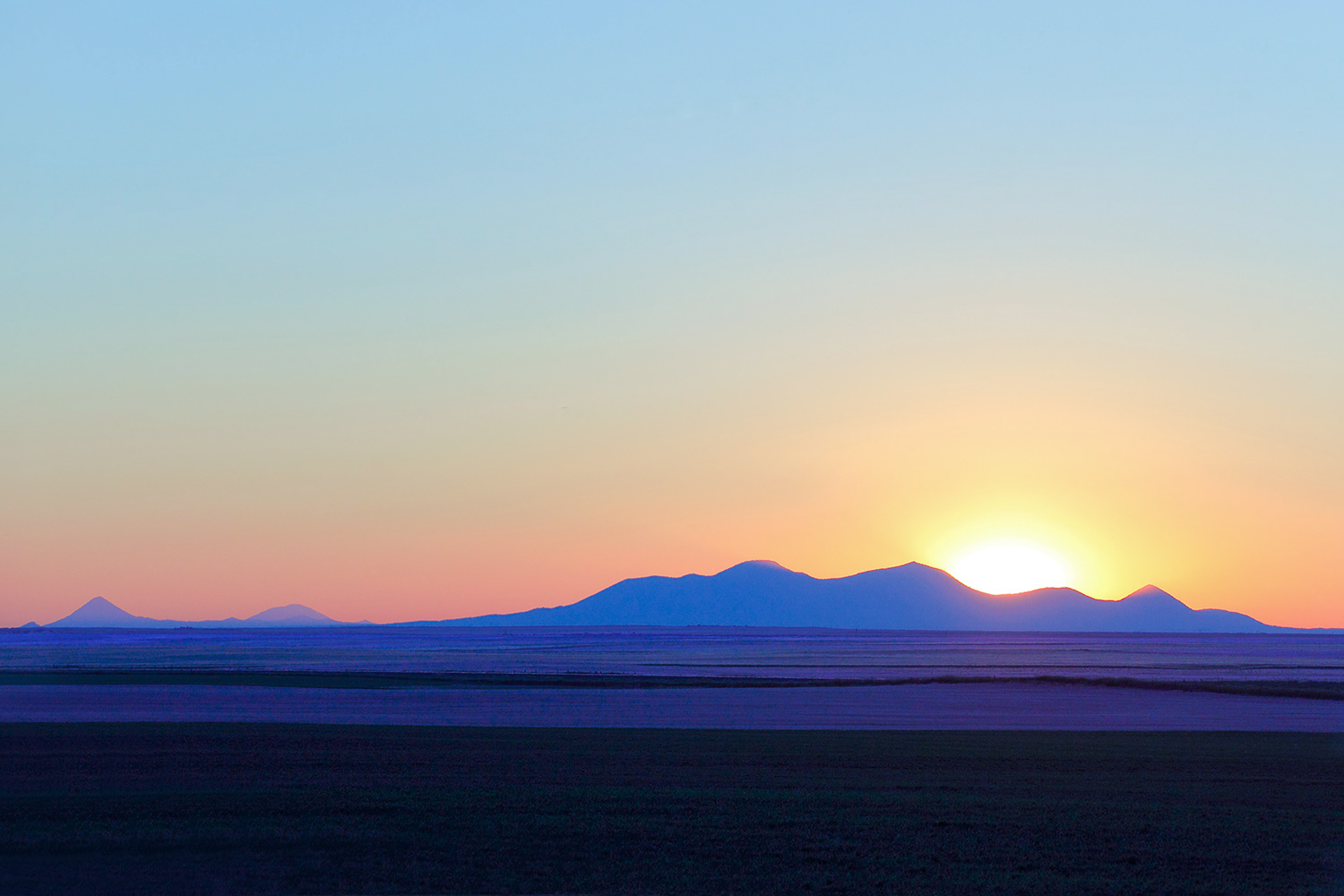
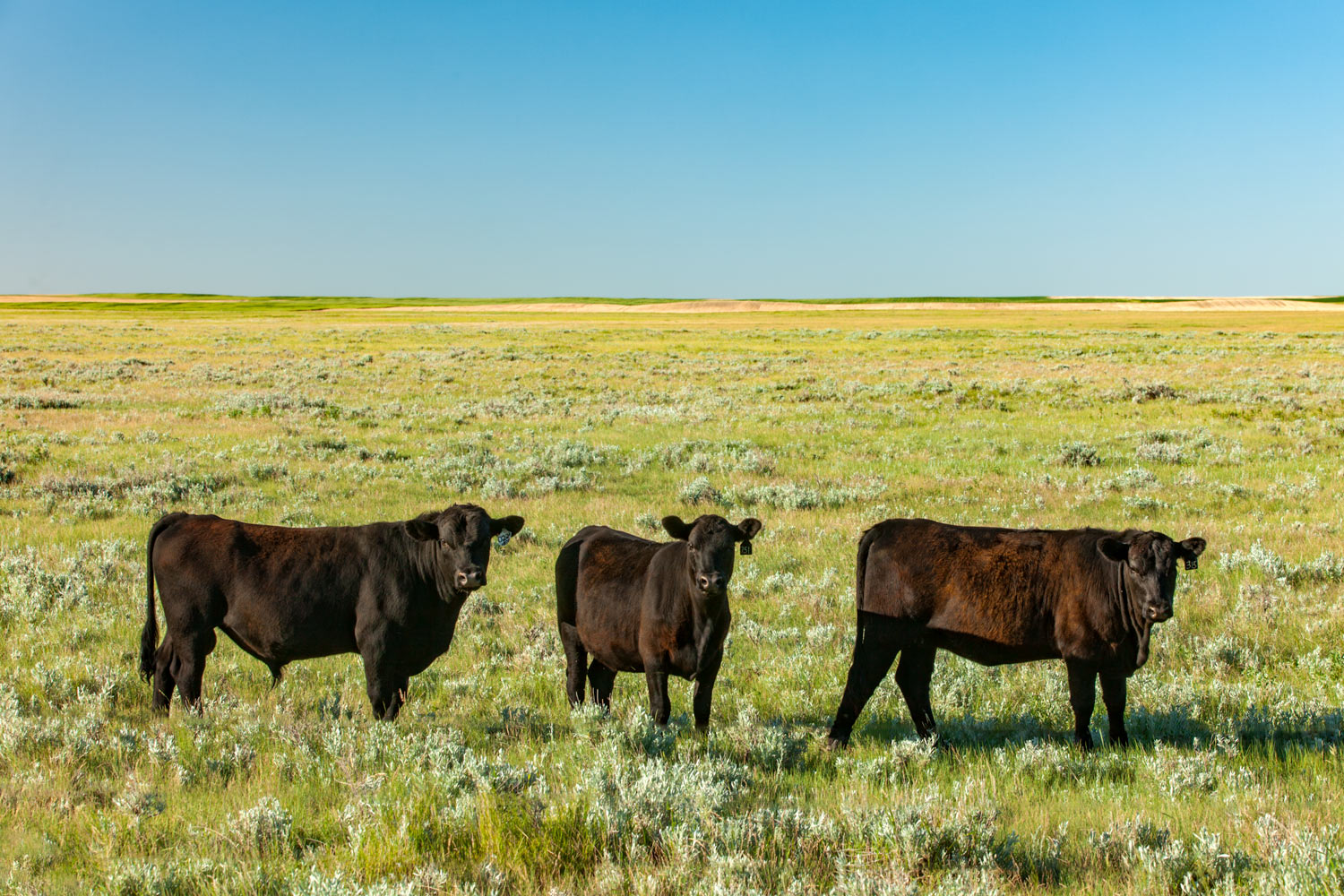
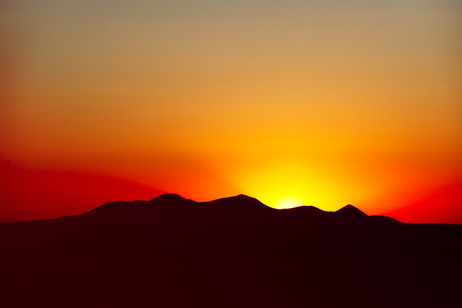
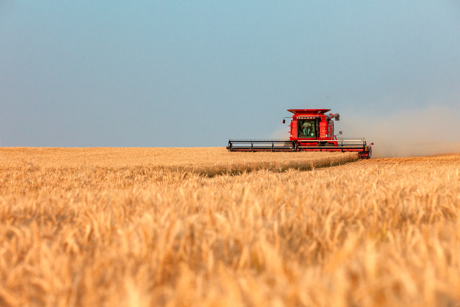
Liberty County shares a border in the north with Canada and the wheat fields of the Golden Triangle to the south. Two distinct geographical features are located in Liberty County, including most (but not all) of Lake Elwell and some (but not all) of the Sweet Grass Hills in the north. In between is the prairie of the Great Plains that is riddled with large fields of wheat and grassland.
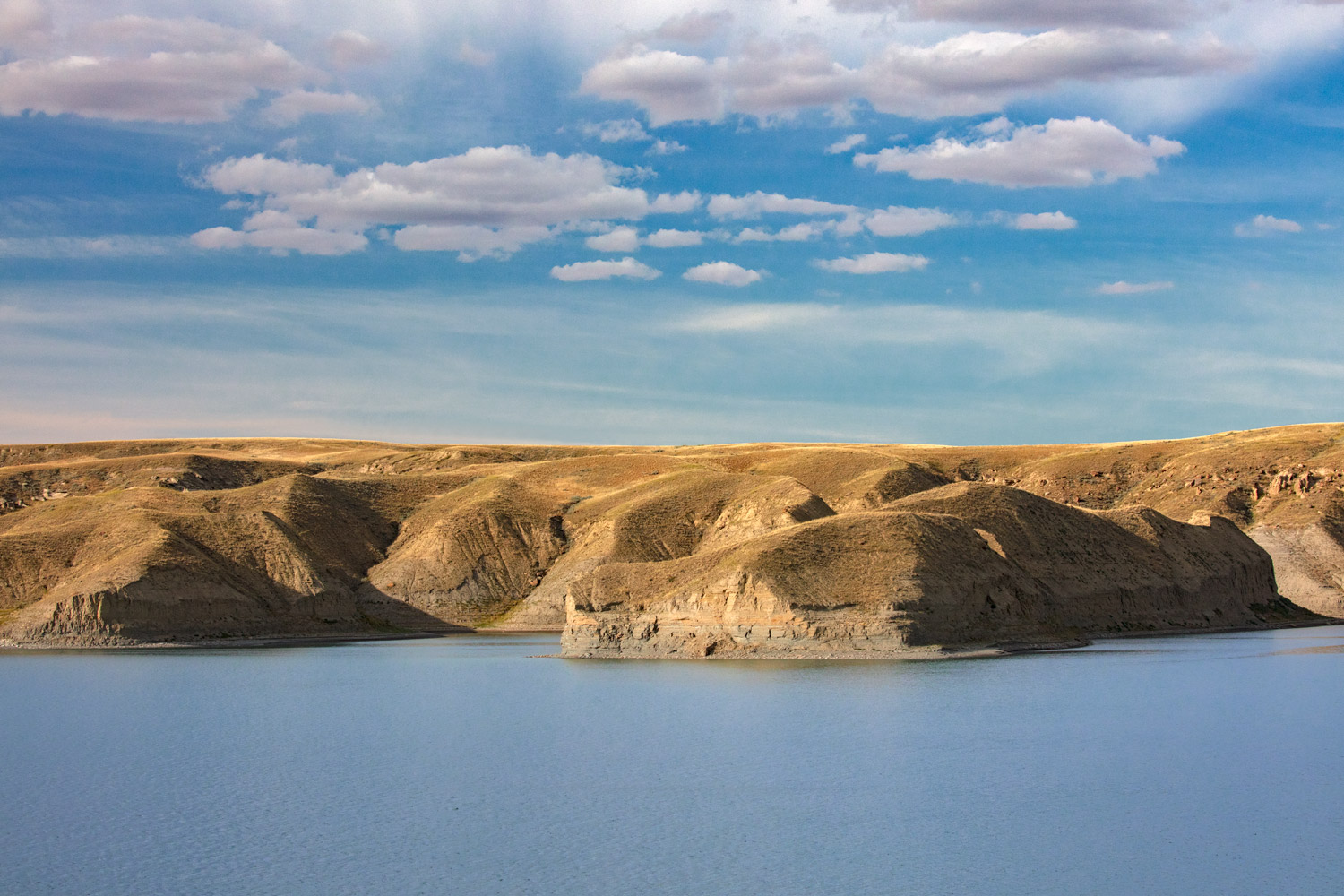
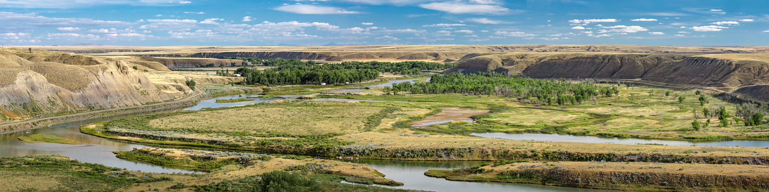
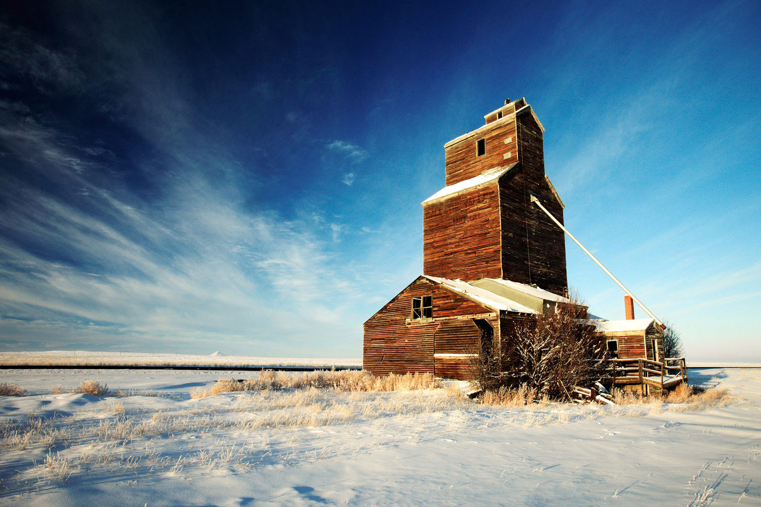
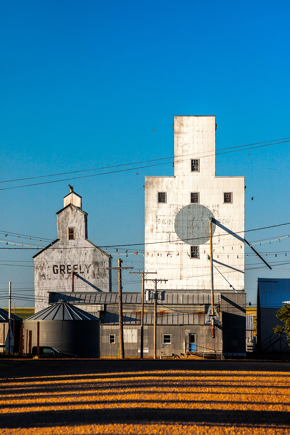
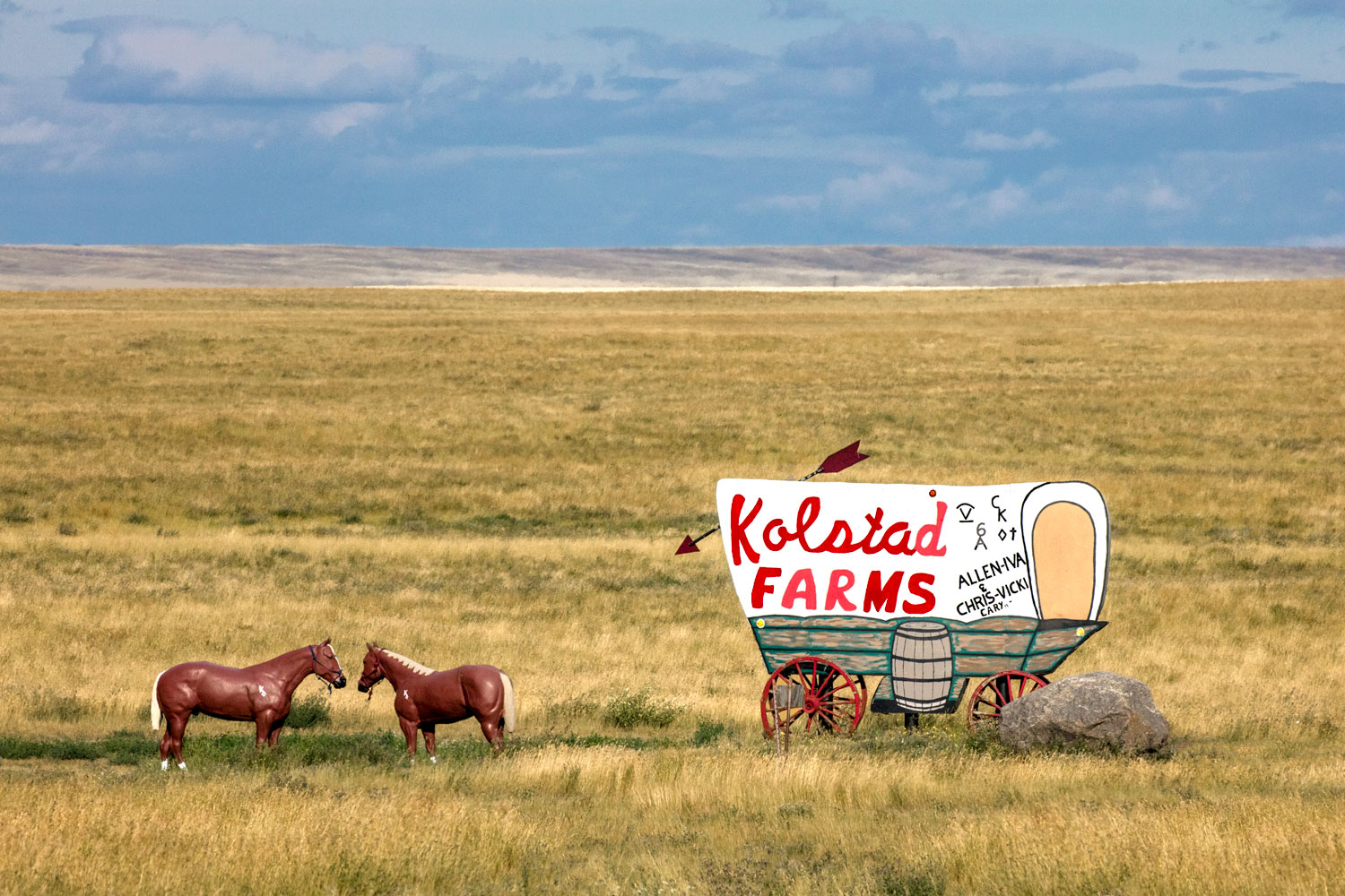
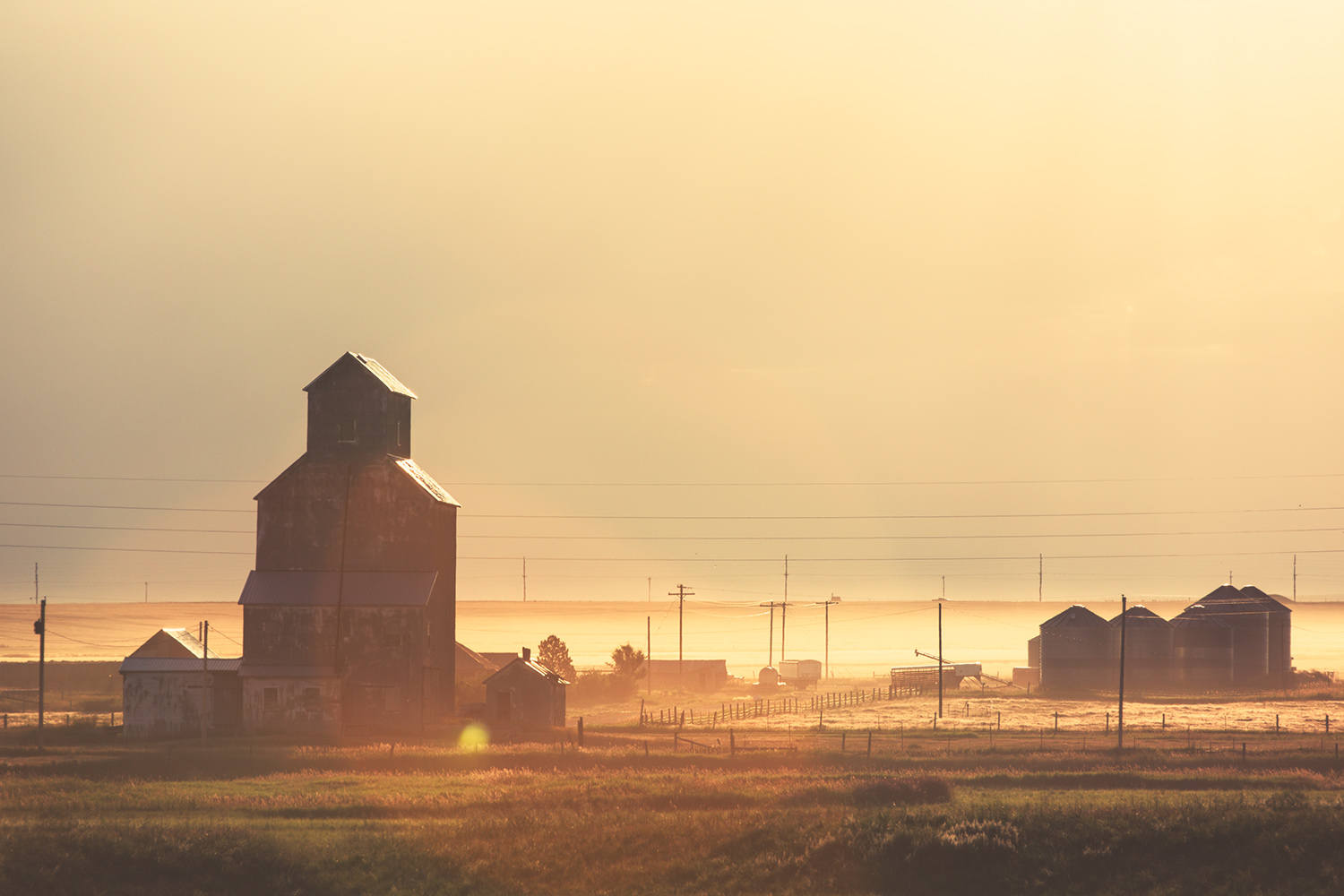
I have spent some time making photos of Liberty County because it is located near Havre, Montana and because it is between Havre and Shelby, a route this Montana photographer would frequent when I headed out aimlessly exploring northern Montana and looking for subjects to add to my portfolio of Montana photos. Chester, which is its county seat, was sure to have fuel and food, which is otherwise scarce along the desolate 100 miles of highway between those two small towns. The landscapes there remind visitors that Liberty County is much more diverse than the drive down U.S. Highway 2 would indicate. Lake Elwell (a.k.a. Tiber Reservoir) alone is a feat to behold. The reservoir was created when they dammed the Marias River with the construction of Tiber Dam. And Lake Elwell was named after Judge Charles B. Ewell, who was the former director of the Montana Reclamation Association. The lake is full of walleye and northern pike and is a beautiful place for boaters and campers to visit.
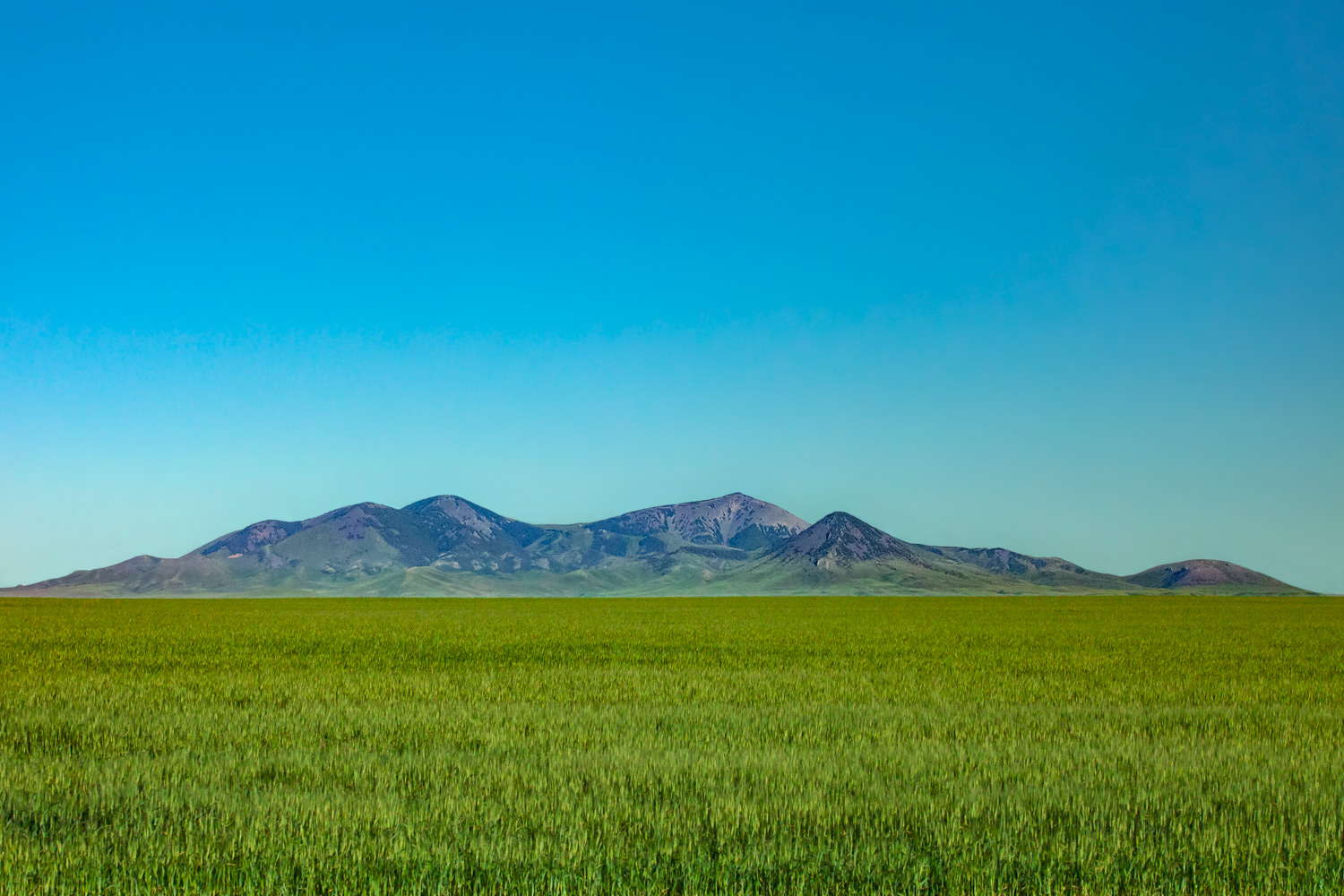
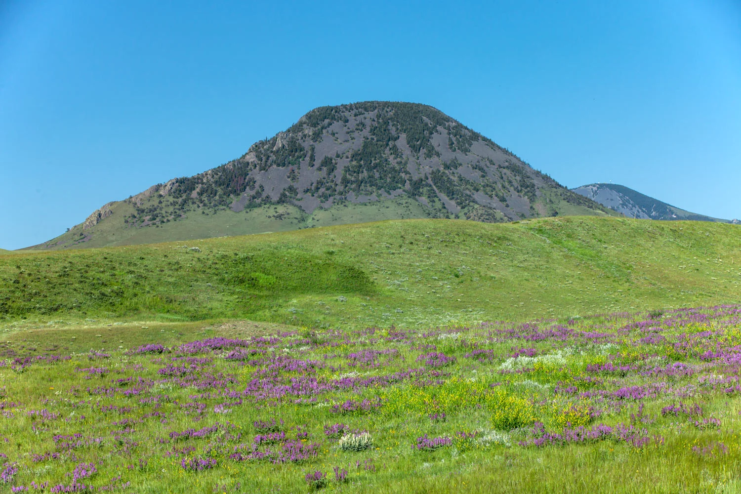
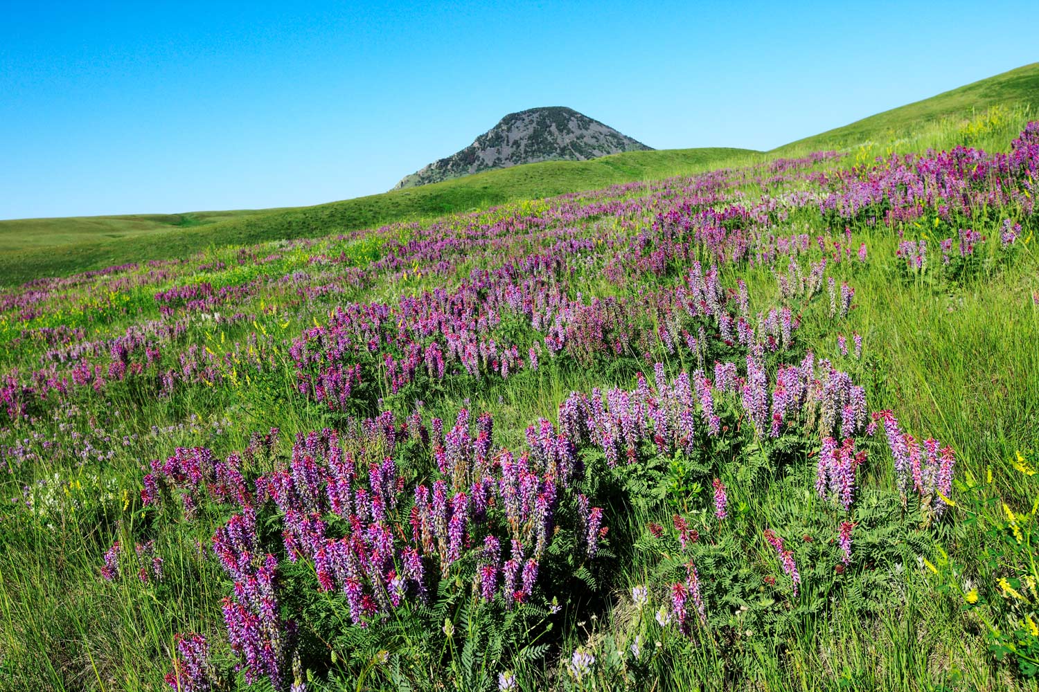
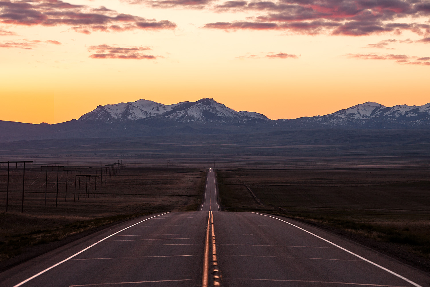
The Sweet Grass Hills, which loom in the distance from every vantage point in Liberty County, hold a special place in native American lore. The Chippewa-Cree believe a flood of water once covered the world and their god fled to a cave in the Sweet Grass Hills where he waited out the rising waters and used the time to reform and restructure the world. That cave is called The Devil’s Chimney and can be explored today. The Sweet Grass Hills were also the gateway through which alcohol moved between the United States and Canada during Prohibition.
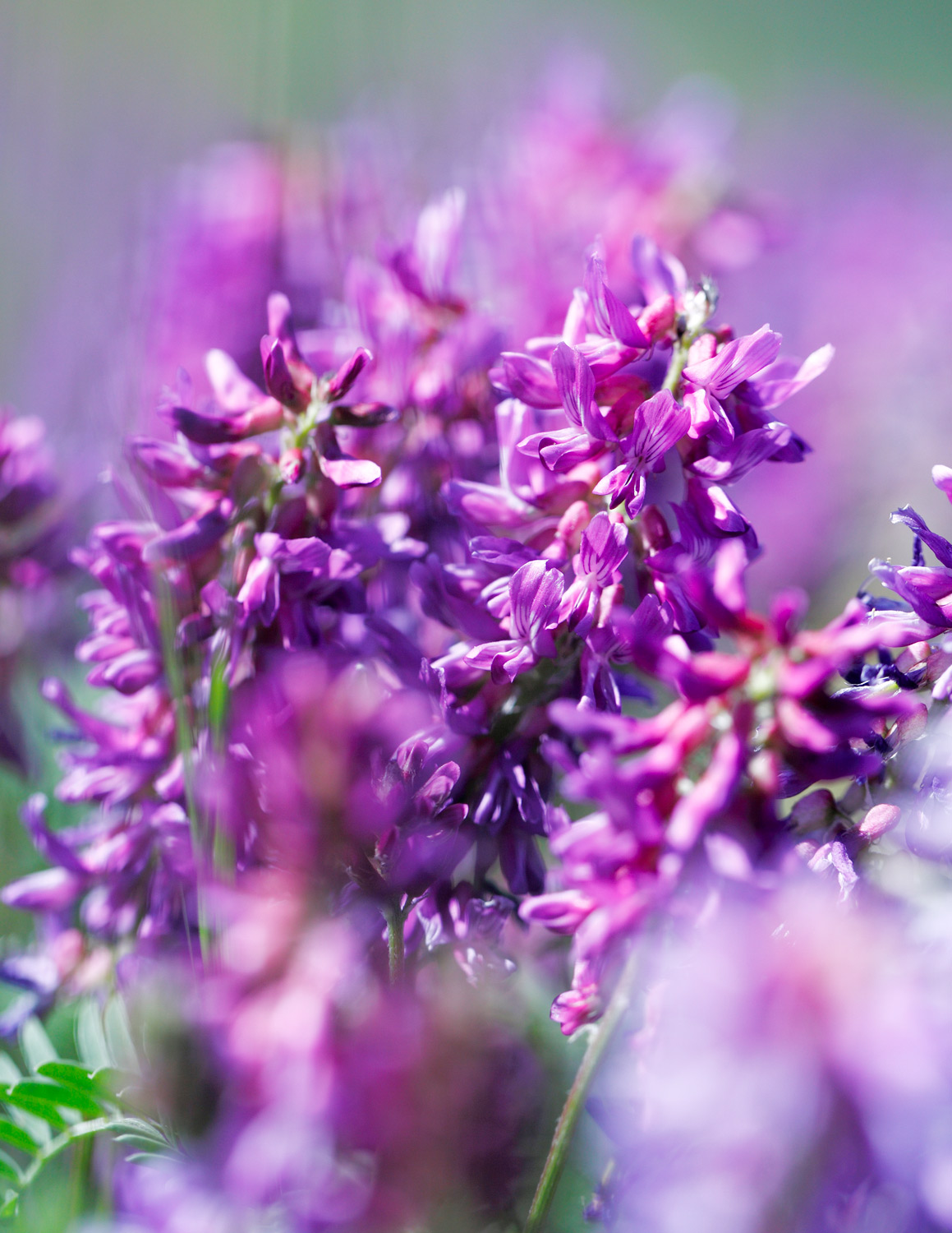
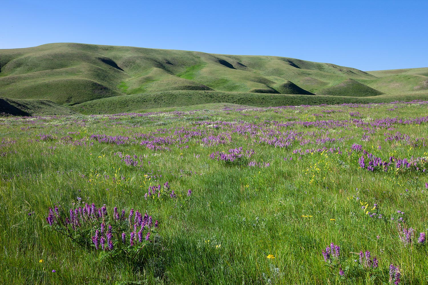
The largest of the Sweet Grass Hills is West Butte, which rises 6,983 feet above sea level, and it is located in Liberty County. West Butte is covered with lush green grass and oceans of wildflowers in the spring and it is home to tiny Whitlash, Montana and some great places to explore, including many caves and a little known placed called The Bear's Den.
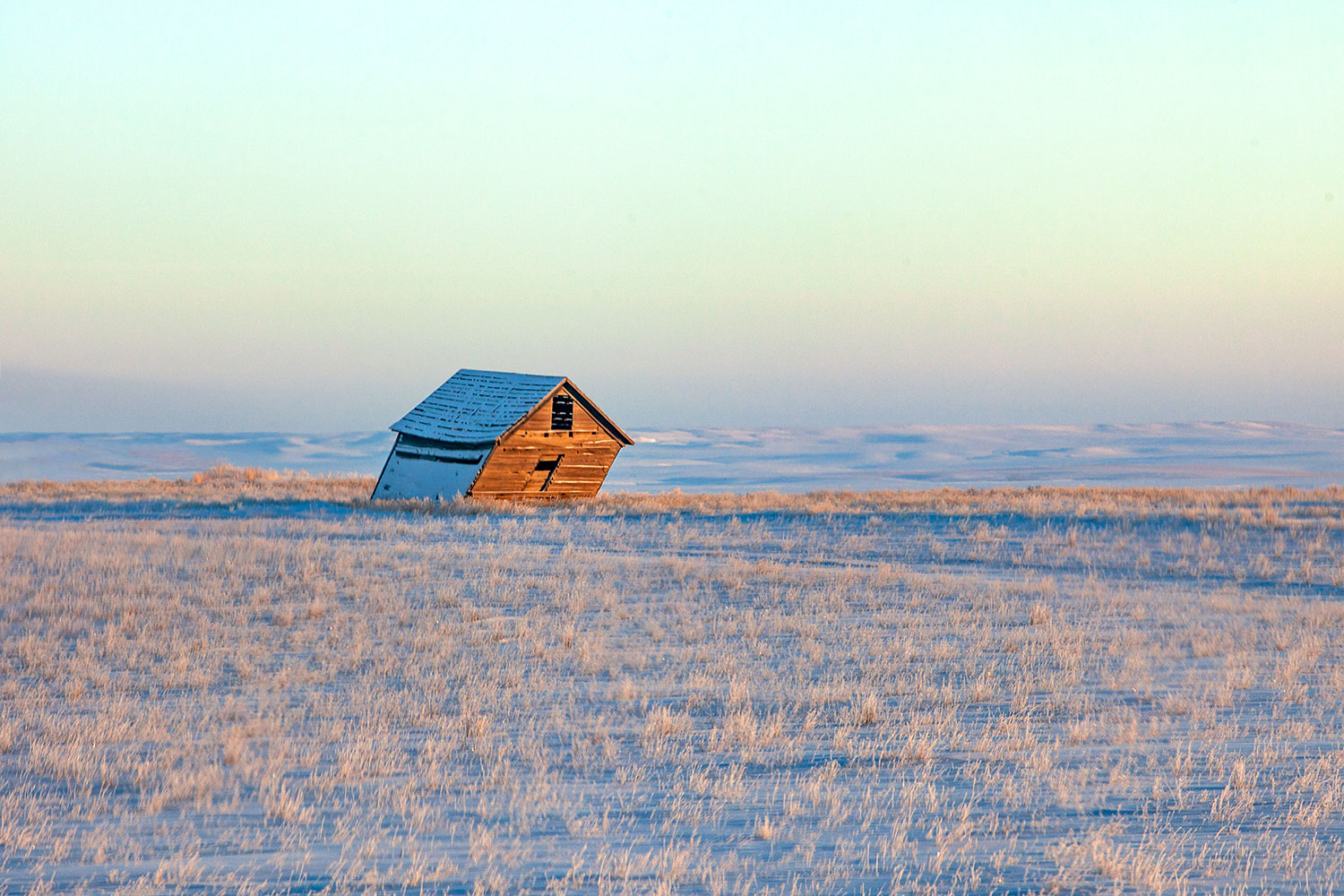
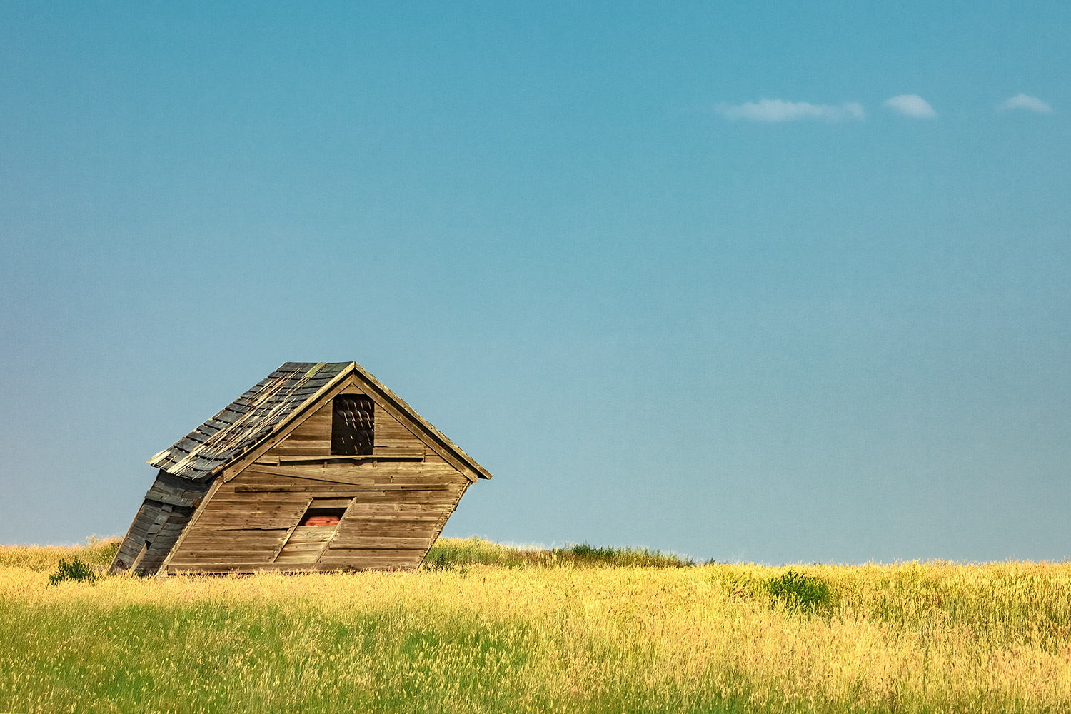
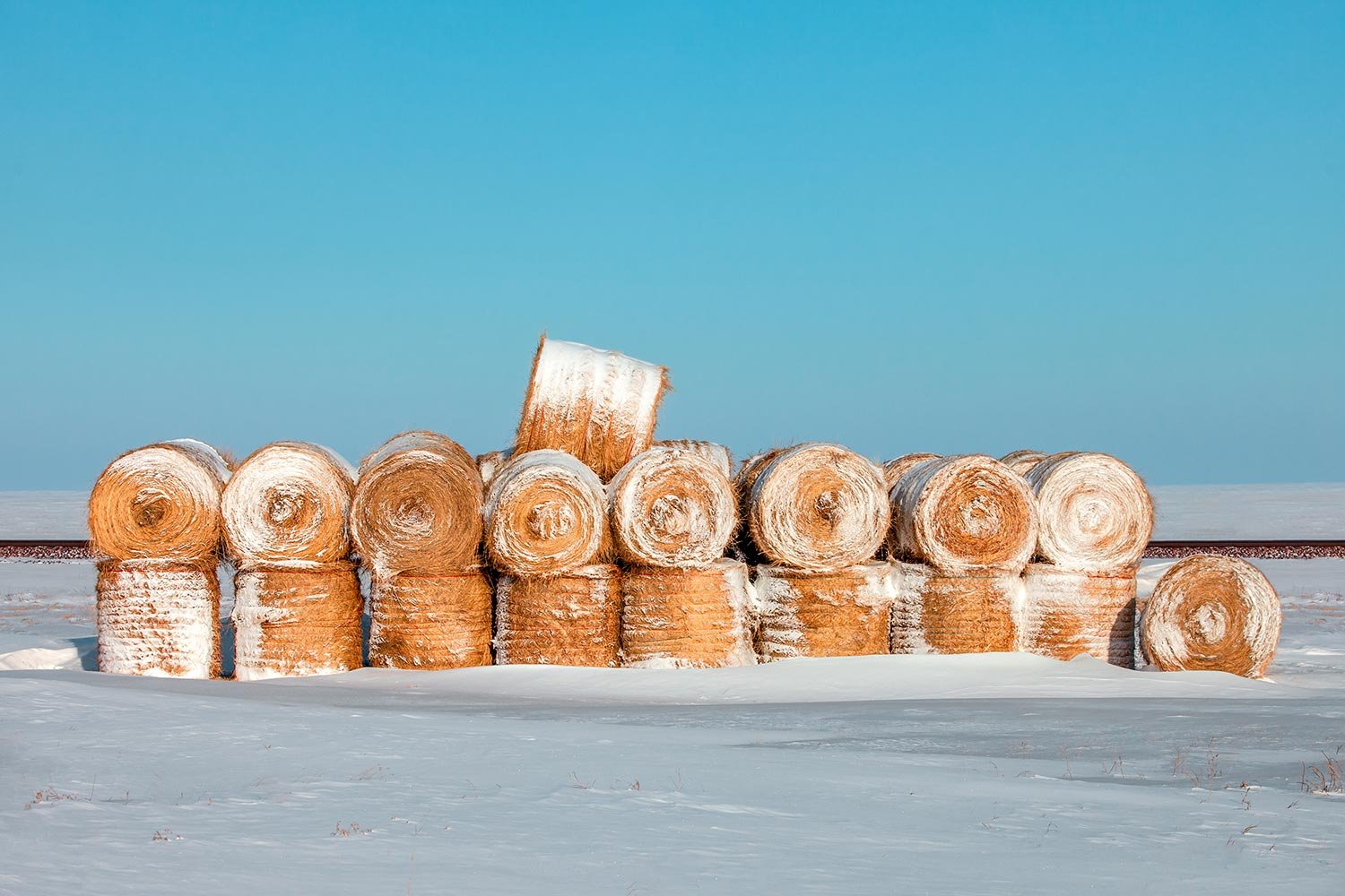
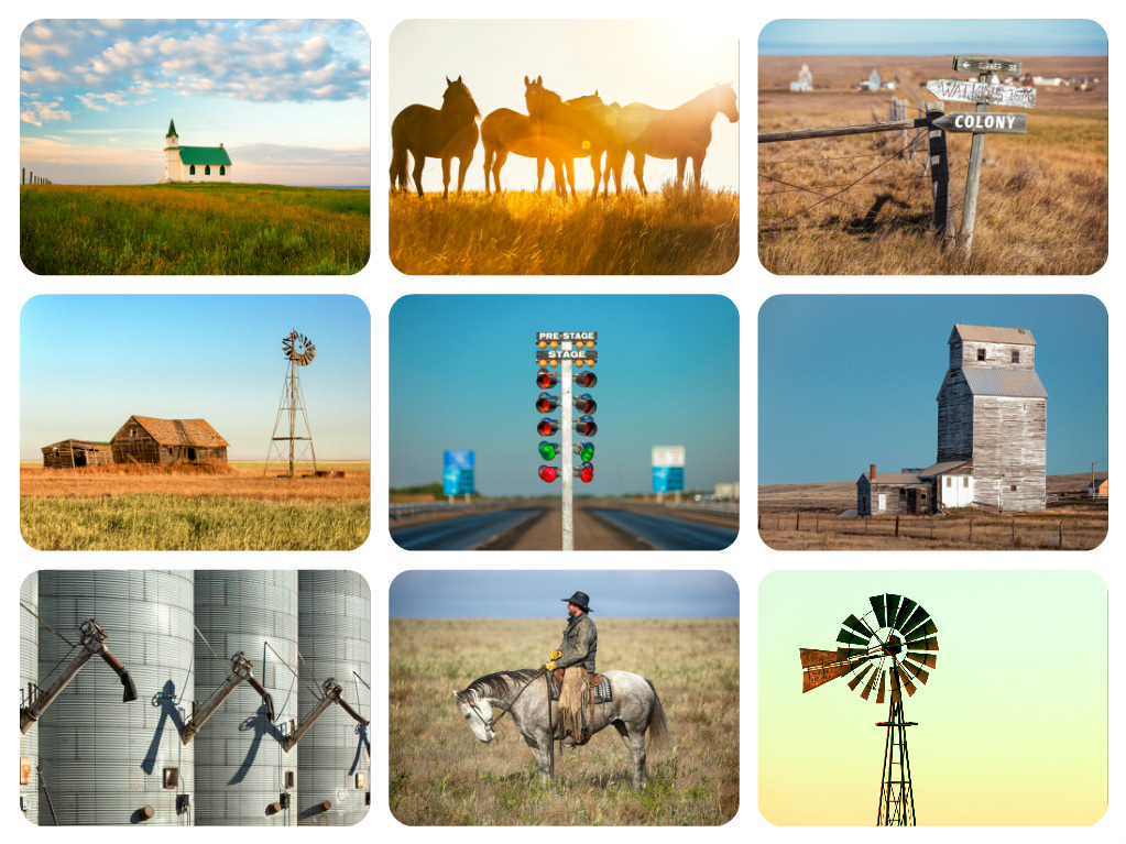
Liberty County is rural, to be sure, but it is a beautiful slice of Montana. Those traveling along U.S. Highway 2 would be rewarded if they took the time to explore everything it has to offer. In my latest installment of 20+ photos I created a new gallery of photos featuring Liberty County. Take a moment to look at some of my photographs of Liberty County I have made there and enjoy Liberty County for yourself through the lens of my camera. I know I had enjoyed making them.