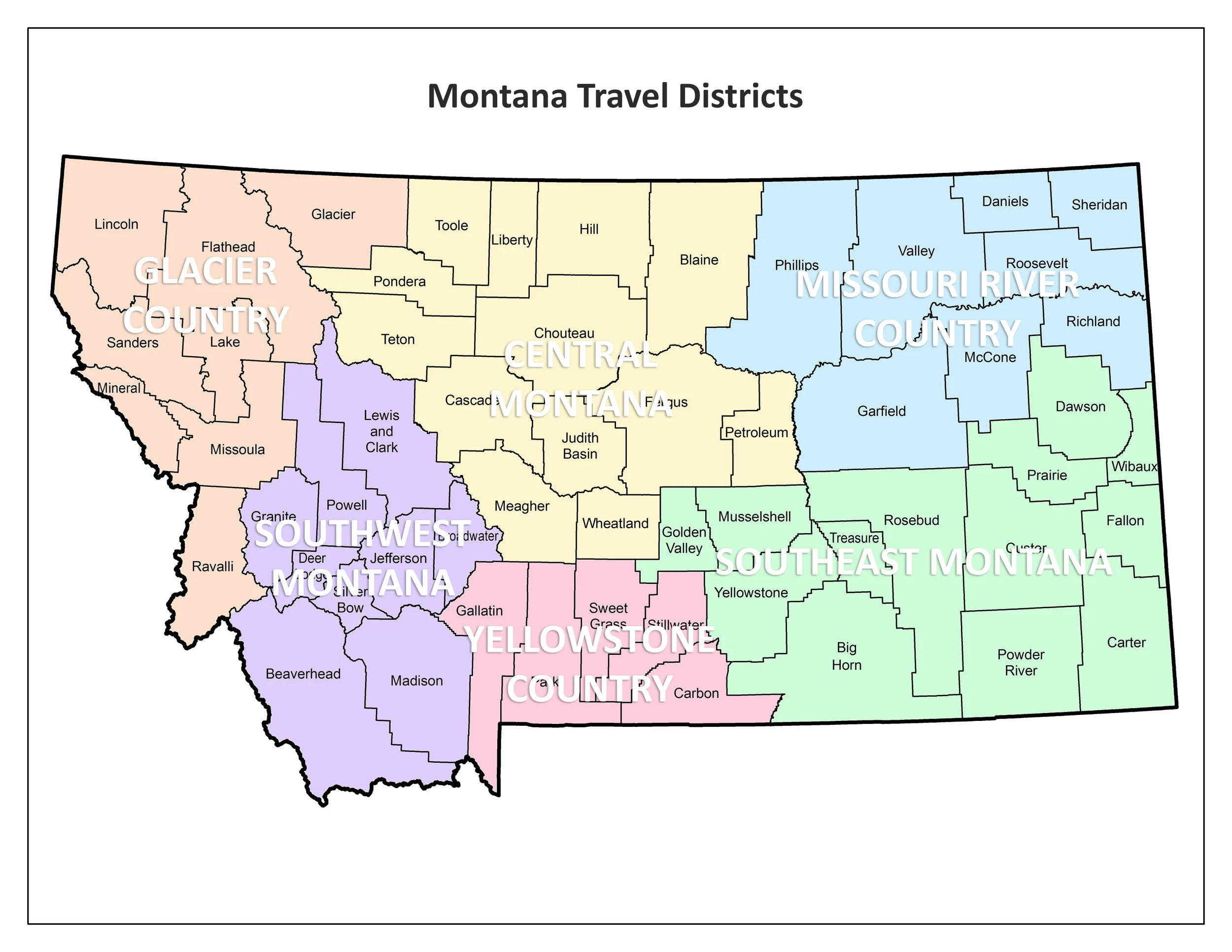
Map of Montana travel regions March 22, 2018 View fullsize SEE MORE AGRICULTURE RELATED MAPS Precipitation potential for every county in the United States Montana is largely out of drought status 2012 Cropland Data Map An artistic map of Montana Map of states and provinces with more cattle than people U.S. States by population growth rate 1950-2016 Bighorn Basin water resources map Map of Montana travel regions Percent of land devoted to each crop by county Soil productivity index map Mean average wind speed across the United States USDA plant hardiness zone map Most lucrative food crop in each state Armour and Company map showing agriculture across the United States Percent of land devoted to farming by county in the United States Map of distribution of federally owned land in the United States Aggregate market value of all agricultural products sold by county Just another map of the United States of America Corn production for grain in the United States by county Population density by county in the U.S. in 2000