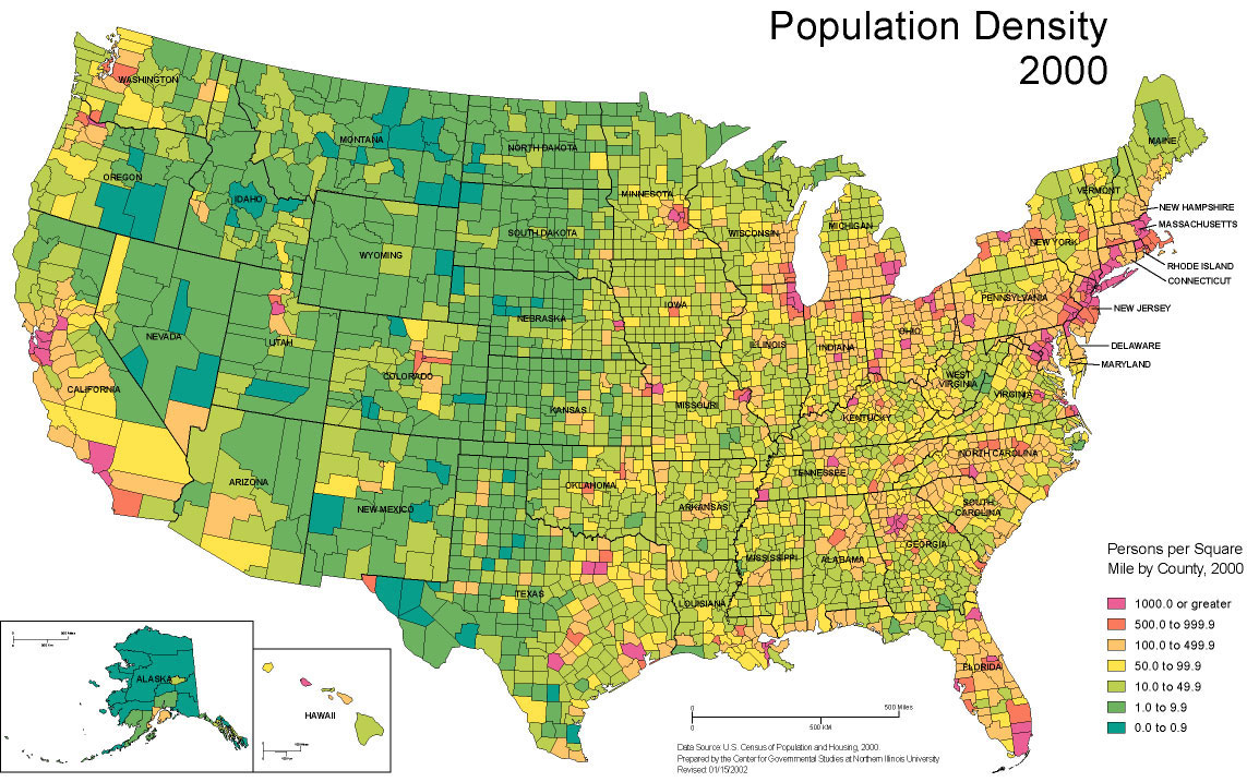
A map denoting the population density in the United States by county created by Center for Government Studies at the Northern Illinois University with data from the 2000 U.S. Census.
SEE MORE AGRICULTURAL MAPS
A map denoting the population density in the United States by county created by Center for Government Studies at the Northern Illinois University with data from the 2000 U.S. Census.