A map of the Golden Triangle region in Montana. The triangle denotes that area often referred to the Golden Triangle. The wheat growing are shaded in red, however, is more truthfully the Golden Triangle.
The Golden Triangle in Montana is often mentioned within rural and small town circles in central Montana, but for the most part, many people don’t know exactly where the Golden Triangle is, or its significance. This article is intends to shed some light and provide some information about the Golden Triangle in Montana and highlight photos of the Golden Triangle I have made over the years, too.
Located in north central Montana, the Golden Triangle is generally considered that region south of the Canadian border and north of Great Falls. If you were to draw a line from Great Falls and through Cut Bank to the Canadian border and from Great Falls through Havre to the Canadian border, that would be what most people in these parts consider the Golden Triangle. But that would be unfair those those area immediately adjacent to the Triangle (see right). And just such a definition also fails to explain the people, places, and things within this region that make it worthy of just such a name in the first place.
Back in September last year I contributed photos of the Golden Triangle to Montana Magazine for a piece about the Golden Triangle. I liked the article, which was written by someone else, but I didn’t like the title. It was called, “Wind, Snow, and Mountains: Montana’s Golden Triangle.” For starters, aside from affecting the weather, which contributes to the reason why the regions is well suited to growing wheat and other cereal crops, mountains are not located anywhere in the Golden Triangle. And more to the point, it missed the most crucial ingredient and the reason why the word “golden” is added to its name. Wheat.
Growers in the Golden Triangle of Montana produce more wheat than most other regions of the country. While other regions produce strictly winter wheat, for example, the Golden Triangle is known for its winter AND spring wheat. Wheat, barley, and pulse crops of the engine of the economy in the Golden Triangle, and without it, the Golden Triangle would not be what it is today.
There aren’t a lot of cattle operations in these parts. The soil is far to valuable for growing wheat, barley, and other crops. No, this is wheat and grain country. The word “golden” refers to the amber waves of grain that cascade over the plains in late summer just before harvest. Oceans of wheat move in unison with the wind as far as the eye can see. And then once harvest begins, the late afternoon sun is choked with the dust and chaff kicked up by harvesters and combines, which are busy cutting the crops in the field.
The communities in the Golden Triangle largely depend on the economy that wheat and other crops provide. Even the skyline of Great Falls, the largest city in the region and the Golden Triangle’s anchor, is dominated by grain elevators whose silos are filled with grain in the late summer and early autumn. Other communities, such as Havre, Shelby, Fort Benton, Cut Bank, Conrad, Big Sandy, Choteau, and Chester (just to name a few) exist in large part because of the money wheat and the Golden Triangle provides.
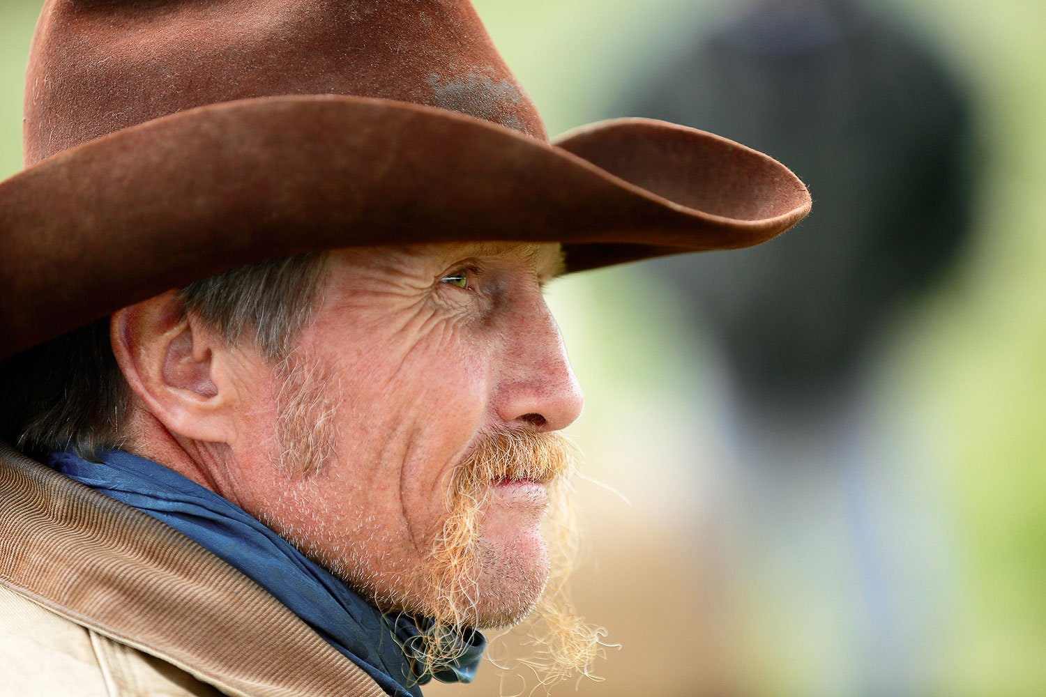
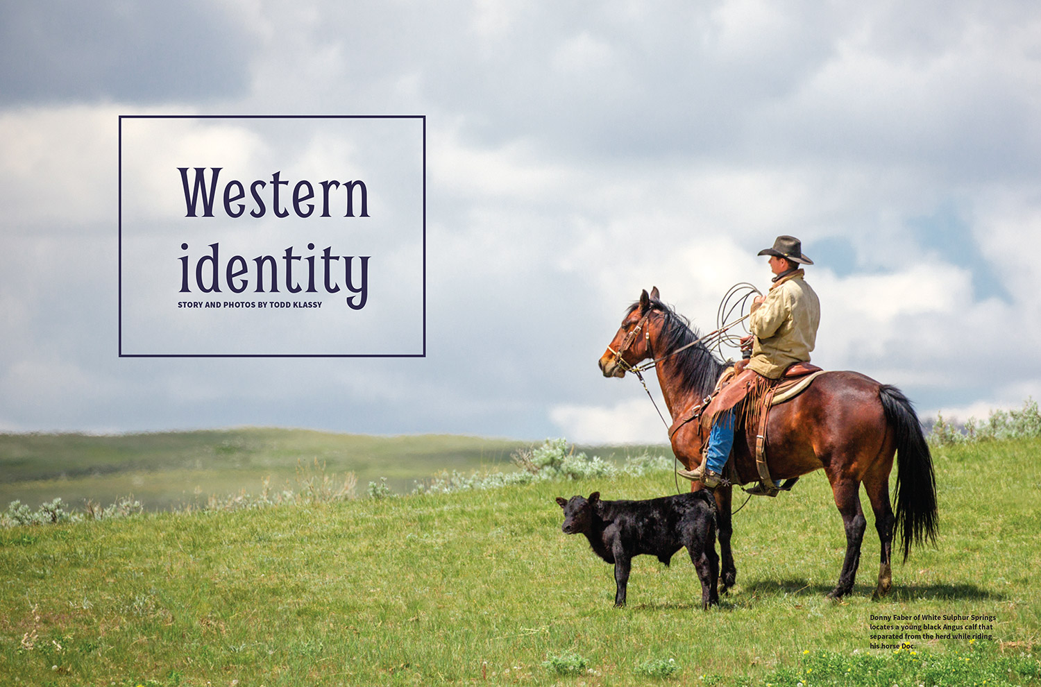
As one of many Montana photographers I enjoy photographing the more hidden haunts of Montana. While there are other Montana photographers working in the vicinity of the Golden Triangle to be sure, I think I am the only one who has dedicated much of his time photographing the rural lifestyle of the region and making photos of agriculture there. While many others photographers would feel more at home making photos of Glacier National Park, I am more at home on the dusty roads and fields of places like the Golden Triangle. I have made many photos of the Golden Triangle and will continue to make many more.
To check out my gallery of Golden Triangle photos be sure to click here: Photos of the Golden Triangle
Be sure to check out my photos of wheat and my photos of combines, too.